The Don River has a captivating history, significantly shaping Toronto’s identity. Formed thousands of years ago, this waterway served as home to small nomadic settlements that called its valley their home. More on toronto.name.
As early as the 14th century, women utilized surface clay deposits along the Don to craft pottery. By the 1700s, the Mississaugas settled along its banks. In 1886, artifacts of Indigenous tools were discovered along the river, offering insights into the early inhabitants of the region.
In 1787, the land purchase by the British from the Mississaugas was perceived as a lease, not a relinquishment of rights. Eventually, the Mississaugas ceded much of their land, which later became York and, eventually, Toronto.
By 1793, York had been established, and mills were built along the lower reaches of the Don. Initially producing lumber, flour, and paper, the mills grew in number to over 50 by 1850, scattered along the river and its tributaries.
Urbanization and Human Impact
The Don River and its valley played a pivotal role in Toronto’s development. In 1795, Todmorden Mills saw the construction of the first sawmill, followed by a paper mill and brewery, all relying on the river for production. This marked the start of industrialization in the Don Valley.
Railroads followed. Remnants of tracks built in the late 1800s by the Canadian Pacific Railway can still be spotted on walks through the valley and its parks.
In 1889, the Taylor brothers, operators of Todmorden Mills, established the Don Valley Brick Works, producing bricks from the river’s clay deposits. Today, the site hosts heritage buildings and the Don Valley Brick Works Park, covering 16 hectares, with wetlands, trails, and meadows filled with wildflowers.
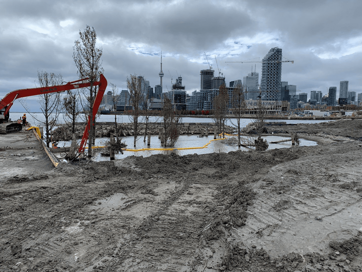
However, economic prosperity came at an environmental cost. Waste from factories polluted the river, turning it into a marshy delta.
The Don Valley has long been cherished by Toronto residents as a community hub and integral part of the city’s identity.
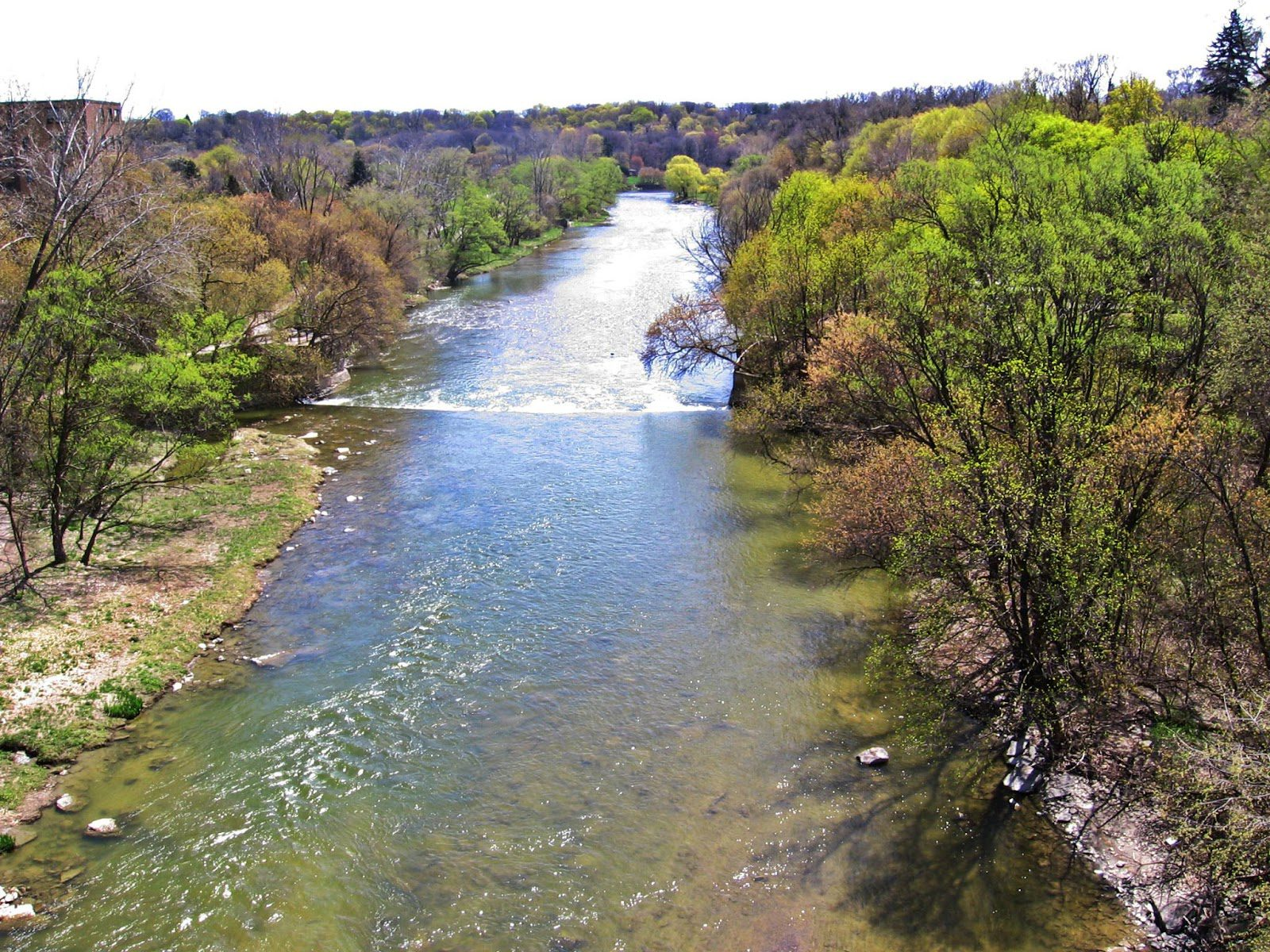
In the early 1800s, the Don River teemed with salmon, flowing through expansive wetlands and tree-lined banks. Yet, two centuries of urbanization and settlement placed immense pressure on the watershed.
Paved surfaces along the riverbanks exacerbate flooding, preventing stormwater from being absorbed by the soil or vegetation. The valley continues to face floods caused by climate change, with sewage overflows entering the river during heavy storms, which are becoming more frequent.
Interesting Facts About the Don River
- The river was straightened: The lower Don meandered through wetlands before meeting Lake Ontario at Ashbridges Bay. In the 1880s, the river was straightened to promote industrial development and allow polluted water to flow into the lake.
- A lost wetland: The port lands once housed Lake Ontario’s largest wetland. Much of it was destroyed by urban landfill between 1912 and 1925.
- A swimming destination: The Don River was once a popular swimming spot. Residents gathered along its banks during hot summers, with some beaches even designated as nudist spots.
- Homes along the river: Many built their homes along the Don, creating thriving riverside communities.
- Hurricane Hazel’s impact: In 1954, Hurricane Hazel caused the Don and Humber rivers to flood Toronto. The disaster led to the creation of the Toronto and Region Conservation Authority (TRCA).
- A ski hill in the 1930s: A ski hill was constructed in the Don Valley during the 1930s.
- The opening of Don Valley Park: In 1961, Don Valley Park was established, forever altering the river’s landscape. Post-war development reshaped the valley’s hills and destroyed some natural areas to make way for highways.
The Don River remains a vital thread in Toronto’s historical and environmental fabric, embodying both the city’s challenges and its enduring connection to nature.